WATCH OUR DISCOVER WISCONSIN EPISODE
See the video on the Bayfield County Tourism YouTube channel
NATIONAL SCENIC BYWAY DESIGNATION!
| Feb 16 2021 Press Release.pdf | |
| File Size: | 157 kb |
| File Type: | |
Welcome to One of Wisconsin's Most Beautiful Highways!

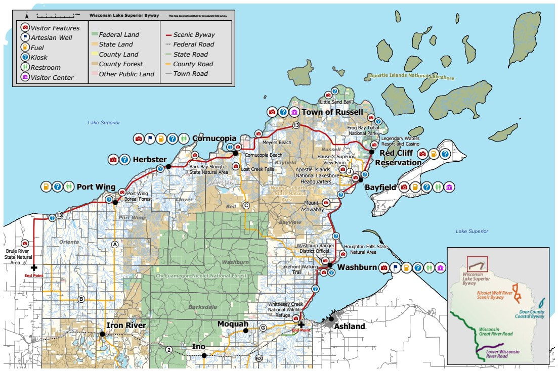
Wisconsin’s Lake Superior Scenic Byway follows the southern shoreline of Lake Superior along the Bayfield peninsula and highlights the geological, historical, cultural, ecological and recreational diversity of the region. The 70-mile route features breathtaking scenic views of forests, pristine sandy beaches, and the clear waters of Lake Superior. This is the home of the Apostle Islands National Lakeshore and Gaylord Nelson Wilderness Area.
The Byway route features quaint harbor towns, historic fishing villages and small orchards & farms. The beauty of the Byway is experienced through the stories and scenery that embrace the majesty of Lake Superior. Spend some time exploring and you'll be rewarded with memories that will make you want to come back for more - from restaurants featuring fresh, local ingredients to peaceful walks along the beach, you might find it hard to head home.
Wisconsin’s Lake Superior Byway (WLSB) begins its journey at the roundabout junction of US Highway 2 and State Highway 13 in the Town of Barksdale in Bayfield County - approximately 2 miles west of the Ashland city limits. The Byway continues for 70 miles on State Highway 13 up and around the Bayfield Peninsula and ends at the intersection of County Highway H and State Highway 13 in the Town of Cloverland in Douglas County (near the mouth of the famous Brule River where multiple U.S. Presidents have come to fish).
Order a map/brochure with lots more information about the Wisconsin Lake Superior Scenic Byway to help plan your trip!
You can also view the WLSSB Map & Guide here.
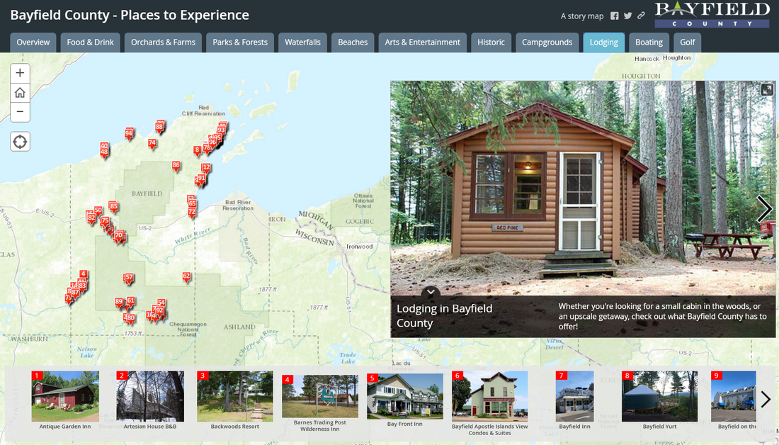
Bayfield County Interactive Map

Find things to do and places to eat and stay on this interactive map of Bayfield County!
